Our Projects
CoGIS
CoGIS is a scalable, customizable geoinformation low-code/no-code platform for organizing multi-user regulated access to geodata, spatial analysis and geoprocessing functions. It allows you to create interactive maps based on cartographic services using advanced style management options, filters, widgets and infographics. It provides efficient collection, storage and exchange of geodata
within local and corporate cloud solutions.
XTools Pro
Powerful tools and functions for spatial analysis, shape conversions, and table management in ArcGIS Desktop and ArcGIS Pro. Thousands of users worldwide successfully apply XTools Pro functionality solving different GIS tasks in their everyday work. XTools Pro tools are used across many industries including major Fortune 500 companies. Not tighten to any specific field XTools Pro is for everybody who uses ArcGIS in their everyday work.
TAB Reader
ArcGIS Plug-in Data Source allowing direct reading of MapInfo TAB and MIF/MID files in ArcGIS preserving symbology and rendering properties, attributes and information about coordinate system. The option of viewing and direct reading of TAB files and MapInfo workspaces in ArcCatalog, as well as exporting feature classes to TAB files provide tight integration of MapInfo data into ArcGIS environment.
CarryMap Builder
Extension to ArcGIS Desktop to export your ArcGIS map documents to mobile maps for further use on iOS, Android, and Windows devices, not tied up by internet availability. Access to mobile maps can be limited, and options of customizing identification cards and adding various branding details allow to make them recognizable and personalized.

QueyDonde. Andorra events and attractions
Advances in information technology have made us aware of events on the other side of the planet, but we often have little idea of what is happening in the next yard and what events Andorra has in store for participants, spectators and fans.

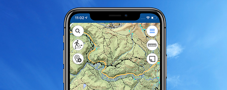
How to create interactive mobile map in 5 easy steps
Learn how to make your ArcGIS map mobile using CarryMap Builder, an extension to ArcGIS Desktop.
Now map is on your mobile device, what's next?
Examples of using mobile maps while working in the field.